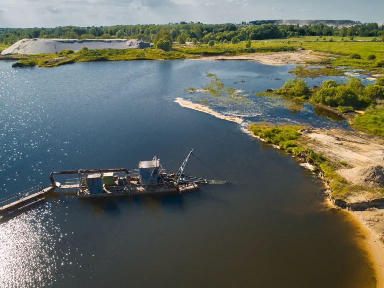
Marine dredging operations play a crucial role in maintaining navigable waterways, supporting coastal development, and enabling land reclamation. By removing sediment buildup and deepening channels, dredging ensures safe passage for ships, prevents flooding, and supports various industrial and environmental projects. As global trade expands and coastal infrastructure grows, the demand for efficient and precise dredging solutions continues to rise.
Precision is key to minimizing environmental impact and optimizing resource use in modern dredging projects. Traditional dredging methods often involve manual oversight and estimations, which can lead to inefficiencies and increased costs. To address these challenges, GPS and real-time monitoring technologies have become essential in improving the accuracy and efficiency of marine dredging operations.
By integrating GPS tracking and real-time data collection, dredging teams can precisely monitor dredge positioning, sediment removal, and environmental conditions. These advancements help reduce over-dredging, optimize fuel consumption, and ensure compliance with environmental regulations. While these technologies are widely used in marine dredging operations, they also play a vital role in lake dredging, where confined spaces and sensitive ecosystems require even greater precision.
This blog explores how GPS and real-time monitoring are transforming dredging, offering enhanced efficiency, cost savings, and improved environmental sustainability. By understanding these innovations, dredging operators can implement smarter solutions to maximize project success in both marine and lake dredging environments.
Understanding GPS Technology in Marine Dredging
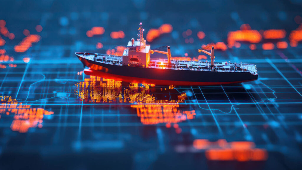
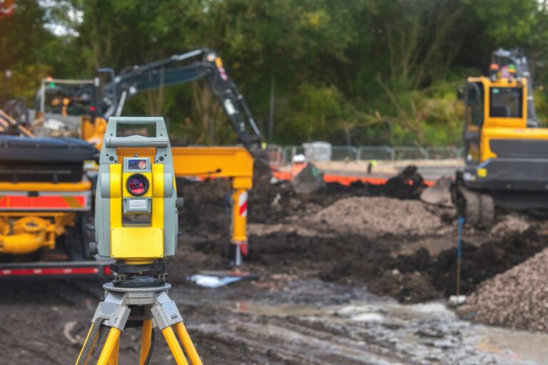
GPS technology has become an essential tool in modern marine dredging operations, allowing for precise navigation, dredger positioning, and depth control. By using satellite-based positioning systems, dredging crews can monitor their exact location and optimize sediment removal with greater accuracy. This level of precision is crucial for maintaining navigable waterways, protecting marine ecosystems, and reducing unnecessary fuel consumption.
In marine dredging operations, GPS technology enables real-time tracking of dredging vessels, ensuring that excavation occurs in designated areas without exceeding permitted depths. Advanced GPS systems work in conjunction with onboard sensors to measure dredge depth and positioning, preventing over-dredging or leaving critical areas untouched. By using high-resolution mapping and bathymetric data, operators can create detailed dredging plans and adjust their approach dynamically based on real-time data.
One of the primary benefits of GPS in dredging is improved accuracy and efficiency. Unlike traditional manual methods, GPS allows operators to control cutter heads, suction systems, and sediment transport with minimal guesswork. This results in optimized fuel use, reduced maintenance costs, and minimized environmental disturbance. In areas like lake dredging, where confined spaces require careful excavation, GPS technology ensures precise dredging without disrupting sensitive aquatic ecosystems.
Furthermore, GPS-assisted dredging enhances safety by providing real-time navigational data. Crews can avoid underwater obstacles, maintain stable dredger positioning, and adapt operations based on changing water conditions. In large-scale projects, integrating GPS with automated dredging systems further improves efficiency by allowing remote monitoring and advanced data analysis. Whether applied to deep-sea projects or lake dredging, GPS technology has become a fundamental tool in modern dredging operations, ensuring that projects are completed with maximum precision and minimal environmental impact.
Real-Time Monitoring in Modern Dredging Operations
Real-time monitoring has become an essential component of marine dredging operations, enabling greater precision, efficiency, and environmental compliance. By utilizing advanced sensors, IoT technology, and AI-driven analytics, dredging crews can track critical data in real time, ensuring that projects remain within specifications and minimizing unnecessary excavation. This data-driven approach enhances decision-making, optimizes fuel consumption, and helps protect marine ecosystems.
In marine dredging operations, real-time monitoring integrates IoT-connected sensors to collect and analyze data on dredging depth, sediment movement, and equipment performance. These systems provide instant feedback, allowing operators to adjust dredging activities dynamically. AI-powered analytics further improve efficiency by predicting potential maintenance issues, optimizing equipment usage, and identifying patterns that help reduce downtime.
Several key parameters are continuously monitored to ensure smooth and efficient dredging:
- Dredge depth and positioning: GPS and sonar sensors track the dredger’s location and excavation depth, preventing over-dredging and ensuring compliance with project requirements.
- Sediment flow and concentration – Sensors measure the volume of sediment being removed, optimizing dredge pump performance and preventing clogging.
- Fuel consumption and engine diagnostics – Real-time monitoring systems track fuel efficiency and detect engine issues before they lead to costly failures.
- Environmental impact monitoring – Water quality sensors measure turbidity, sediment dispersion, and habitat conditions to ensure regulatory compliance and minimize ecological disturbances.
In areas like lake dredging, where confined spaces and sensitive ecosystems require careful sediment management, real-time monitoring helps operators maintain precise excavation. By integrating real-time data collection and AI-driven insights, marine dredging operations can achieve better efficiency, cost savings, and environmental sustainability, ensuring long-term success in both large-scale marine projects and lake dredging applications.
Advantages of GPS and Real-Time Monitoring in Marine Dredging

The integration of GPS and real-time monitoring has transformed marine dredging operations, offering significant benefits in efficiency, cost reduction, safety, and environmental protection. These technologies allow dredging teams to optimize workflows, reduce errors, and ensure compliance with regulatory requirements. Whether applied to large-scale marine projects or lake dredging, GPS and real-time data analytics provide substantial operational improvements.
Increased Efficiency
GPS technology helps reduce over dredging by precisely tracking dredger movements and excavation depth. By providing accurate positioning data, dredging operators can ensure that only the necessary areas are excavated, improving efficiency and minimizing unnecessary fuel consumption. This is especially valuable for marine dredging operations, especially deepwater projects, where strong currents and shifting sediments can complicate dredging accuracy.
Cost Savings
Real-time monitoring helps lower operational costs by optimizing fuel usage and reducing unplanned maintenance. Sensors track fuel consumption and detect mechanical issues before they escalate into costly failures. Additionally, predictive analytics can identify maintenance needs, extending the lifespan of critical equipment. These cost-saving benefits also apply to lake dredging, where smaller-scale projects still require careful resource management to remain financially viable.
Enhanced Safety
Dredging in busy waterways or offshore environments comes with navigational hazards. GPS and real-time monitoring improve situational awareness, reducing the risk of vessel collisions and ensuring safer dredging operations. By tracking weather conditions, underwater obstacles, and equipment performance, marine dredging operations can be conducted with greater confidence and reduced risk to personnel.
Environmental Protection
One of the most significant advantages of real-time monitoring is its role in environmental conservation. Sensors continuously measure sediment displacement, turbidity levels, and water quality, ensuring compliance with environmental regulations. This level of monitoring is crucial in lake dredging, where protecting delicate freshwater ecosystems is a priority. By integrating GPS and data analytics, dredging operations can minimize ecological impact while maintaining project efficiency.
Comparing Marine Dredging and Lake Dredging: How GPS and Monitoring Differ
While both marine dredging operations and lake dredging rely on GPS and real-time monitoring for precision and efficiency, they differ in scale, environmental conditions, and technological challenges. Understanding these differences helps operators optimize their approach based on each project’s specific requirements.
Differences in Scale, Depth, and Sediment Composition
Marine dredging operations typically occur in deep waters, covering vast areas with high sediment variability. Coastal projects often require dredging large volumes of sand, silt, and rock to maintain shipping channels and protect shorelines. In contrast, lake dredging is usually performed in smaller, confined areas with shallower depths and softer sediments. The composition of lakebed materials, including organic sludge and fine silt, requires different dredging techniques compared to the more compact sediments found in marine environments.
GPS Accuracy Challenges in Open Water vs. Confined Lakes
In marine dredging operations, GPS technology must account for strong ocean currents, shifting tides, and high-wave conditions that can affect dredger positioning. Advanced GPS systems and real-time monitoring tools help maintain precise dredging depths and vessel locations in these dynamic environments.
Conversely, in lake dredging, GPS accuracy is influenced by limited satellite visibility due to surrounding landforms and tree cover. Since lakes are enclosed bodies of water, dredgers may experience signal interference, requiring additional positioning tools such as ground-based reference stations or sonar-based tracking systems for enhanced accuracy.
Real-Time Monitoring Considerations for Lake Dredging
While marine dredging operations focus on large-scale sediment removal, lake dredging requires careful environmental monitoring to protect fragile ecosystems. Real-time sensors track turbidity levels, water quality, and sediment dispersion, ensuring minimal ecological disruption. Since lakes are often used for drinking water, recreation, or wildlife habitats, strict regulatory compliance is necessary, making precise monitoring essential for sustainable dredging practices.
Implementing GPS and Monitoring Systems in Marine Dredging Operations
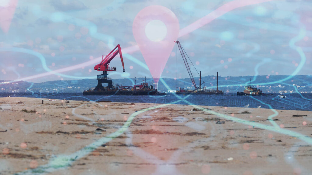
The successful implementation of GPS and real-time monitoring systems in marine dredging operations requires careful selection, integration with existing equipment, and proper training for dredging teams. These technologies enhance dredging accuracy, reduce operational costs, and improve environmental compliance. However, adopting advanced monitoring systems comes with challenges that must be addressed to ensure efficiency.
Choosing the Right GPS and Real-Time Monitoring System
Selecting a GPS and monitoring system depends on project requirements, dredging depth, and environmental conditions. High-precision GPS with RTK (Real-Time Kinematic) corrections ensures accurate positioning, especially in offshore projects where strong currents can shift dredging equipment. In marine dredging operations, advanced sensors that track dredge depth, sediment flow, and water quality are essential for maintaining optimal efficiency.
Integration with Existing Dredging Equipment and Control Systems
Integrating GPS and monitoring systems into existing dredging equipment requires compatibility with onboard control systems. Many modern dredgers are equipped with digital controls that can process real-time data, but older vessels may need software upgrades or additional hardware installations. Proper calibration of GPS units with depth sensors ensures accurate dredging measurements.
Training Dredging Teams to Use GPS and Monitoring Technology
Marine dredging operations require skilled operators who can interpret GPS data, adjust dredging parameters, and respond to real-time alerts. To maximize the benefits of advanced monitoring technologies, training programs should focus on system operation, troubleshooting, and data analysis.
Challenges and Solutions in Adopting Advanced Monitoring Systems
Common challenges include high initial investment costs, technical integration issues, and resistance to new technology. However, long-term benefits such as improved efficiency, reduced fuel consumption, and better environmental compliance outweigh these challenges. While lake dredging projects may require simpler monitoring systems, marine dredging operations benefit greatly from fully integrated GPS and real-time tracking solutions.
Future Trends in GPS and Real-Time Monitoring for Marine Dredging
As technology continues to evolve, marine dredging operations are becoming more advanced, precise, and efficient. The integration of artificial intelligence, autonomous vessels, and satellite-based monitoring is set to revolutionize the industry. These innovations will not only improve project outcomes but also reduce environmental impact and operational costs.
Advancements in AI-driven predictive Dredging Analytics
Artificial intelligence is playing a growing role in optimizing marine dredging operations. AI-powered analytics can process vast amounts of real-time data, predicting equipment wear, sediment flow patterns, and maintenance needs. This predictive approach enhances efficiency, reduces downtime, and prevents costly breakdowns. AI also helps optimize fuel consumption by analyzing dredger movement and suggesting the most efficient routes for sediment removal.
Autonomous Dredging Vessels with Enhanced GPS Capabilities
The development of autonomous dredgers is transforming marine and lake dredging. These self-operating vessels use high-precision GPS, sonar, and AI-driven controls to navigate and perform dredging tasks with minimal human intervention. By eliminating manual errors and improving positioning accuracy, autonomous dredging vessels increase efficiency and safety in challenging environments.
Satellite-Based Remote Monitoring for Large-Scale Operations
Marine dredging operations in offshore locations are benefiting from satellite-based remote monitoring. This technology enables real-time tracking of dredging progress, equipment performance, and environmental conditions from centralized command centers. It provides operators with continuous visibility, even in remote or deep-sea locations.
Sustainable Dredging Strategies Driven by Real-Time Data Insights
Real-time monitoring helps implement sustainable dredging strategies by controlling sediment dispersion, turbidity levels, and fuel usage. Both marine dredging operations and lake dredging projects are shifting toward eco-friendly solutions that balance economic needs with environmental protection, ensuring long-term sustainability in the industry.
Conclusion
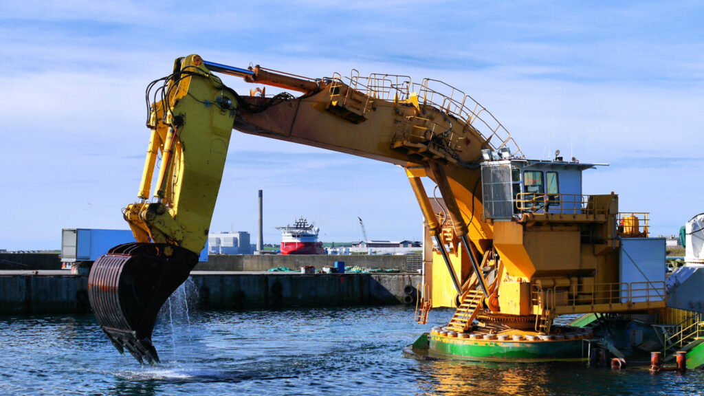
GPS and real-time monitoring have revolutionized marine dredging operations by enhancing precision, improving operational efficiency, and ensuring environmental sustainability. These technologies enable operators to track dredger movements, monitor sediment displacement, and maintain optimal dredging depths in real time, reducing over-dredging and minimizing environmental impact. Through advanced GPS systems and IoT-based monitoring, dredging operations are becoming more cost-effective and safer, with real-time data helping to anticipate and mitigate potential issues.
Adopting modern technology is crucial for the continued success of marine dredging operations. It boosts efficiency and safety and supports compliance with environmental regulations, promoting sustainable practices in marine and lake dredging projects.
Looking to the future, smart dredging solutions such as autonomous vessels, AI-driven analytics, and satellite-based monitoring will shape the industry’s evolution. As these innovations become more widespread, marine dredging operations and lake dredging will benefit from enhanced performance, reduced costs, and greater environmental responsibility, driving the industry toward a more efficient and sustainable future.

